Services
MATTERPORT
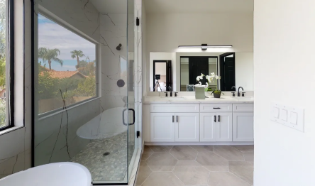
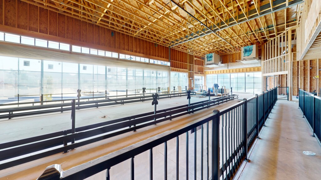
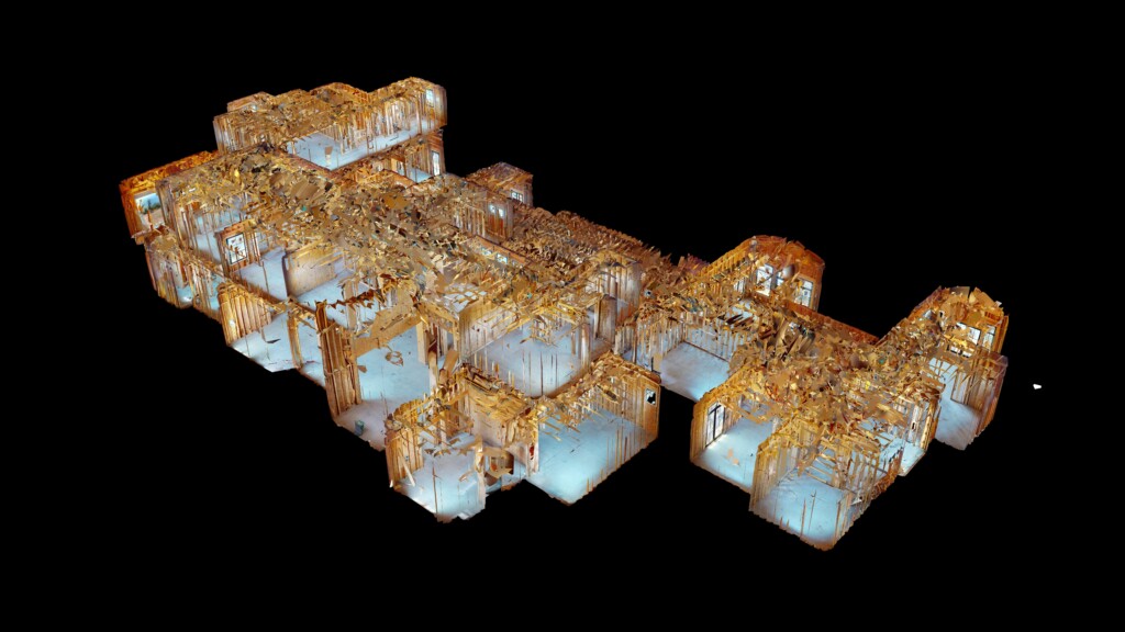
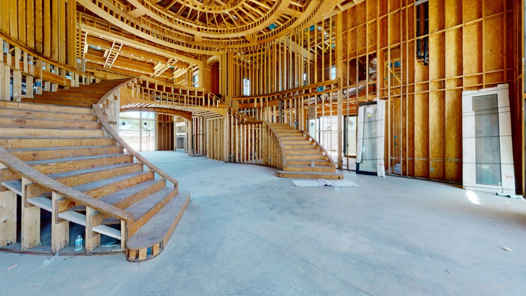
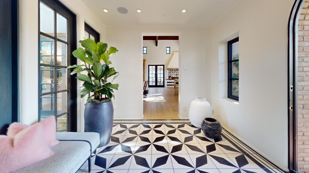
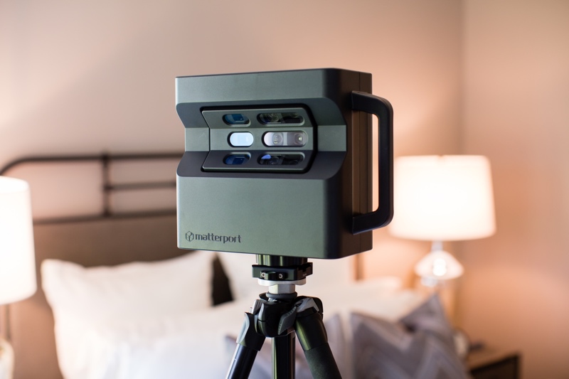
Matterport is a 3D platform that lets us turn your physical space into virtual space by capturing panoramic HD imagery and depth data and creating a “digital twin” of your space. After this is created, we customize the digital twin however is needed for the client’s needs. Take measurements, create guided walk-throughs, allow prospects to explore your space to get a feel for it, and download high-res photos and videos.
DRONE
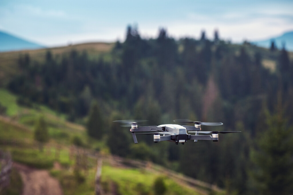
Drones are an innovative tool that allows us to capture aerial imagery and data to create a comprehensive view of your property or project. This high-definition footage is invaluable to real estate marketing, construction progress monitoring, documenting fire or storm damage, and more.
VIDEO EDITING
Our skilled team leverages state-of-the-art equipment and innovative techniques to turn your raw footage into captivating visual stories. We meticulously tailor our services to meet your unique goals, ensuring that your final product exceeds expectations.


PHOTOGRAPHY
Our new photography services include real estate photography, available on its own or as part of a package with Matterport 3D tours and drone imagery, providing a comprehensive solution for showcasing properties. We offer a variety of other photography services, including product, event, and portrait photography, available upon request.
USES AND APPLICATIONS OF VIRTUAL TWIN MEDIA
CONSTRUCTION/INTERIOR DESIGN
New Construction, Remodels, Renovations, etc
- Document current conditions through various stages
- Ability to go through the property in previous stage
- Save time and money by reducing overhead
- Send the property to subcontractors for bid purposes
- Take measurements for take-offs and materials orders
- Generate Floor plans, schematics, guided and video tours
- 3D scan as-builts
- Perform remote inspections
- Embed notes and media to your space
SHOWCASE
Real Estate Listings, Models, Finished Work, Restaurants, Businesses, etc
- Allow prospective clients to see your properties in 3D
- 4k quality photos
- Share on social media easily
- Generate Floor plans, schematics, guided and video tour
- Embed the 3D space on your website
- Embed notes and media to your space
- Create measurements within the space for a wide variety of uses
- Google Street View
PROPERTY INSURANCE CLAIMS & CATASTROPHIC LOSS DOCUMENTATION
Property Damage estimating, documentation and inventories
- Replaces the need for manual measurements and individual photographs
- Allows adjusters, contractors, and Insured’s the ability to walk through the loss and determine the extent of the damages
- Create sketch from measurements take from space
- Create inventories of personal property
- Track the progress of repairs in stages
READY TO GET STARTED?
Create a “virtual twin” of your space for whatever purpose you need!

